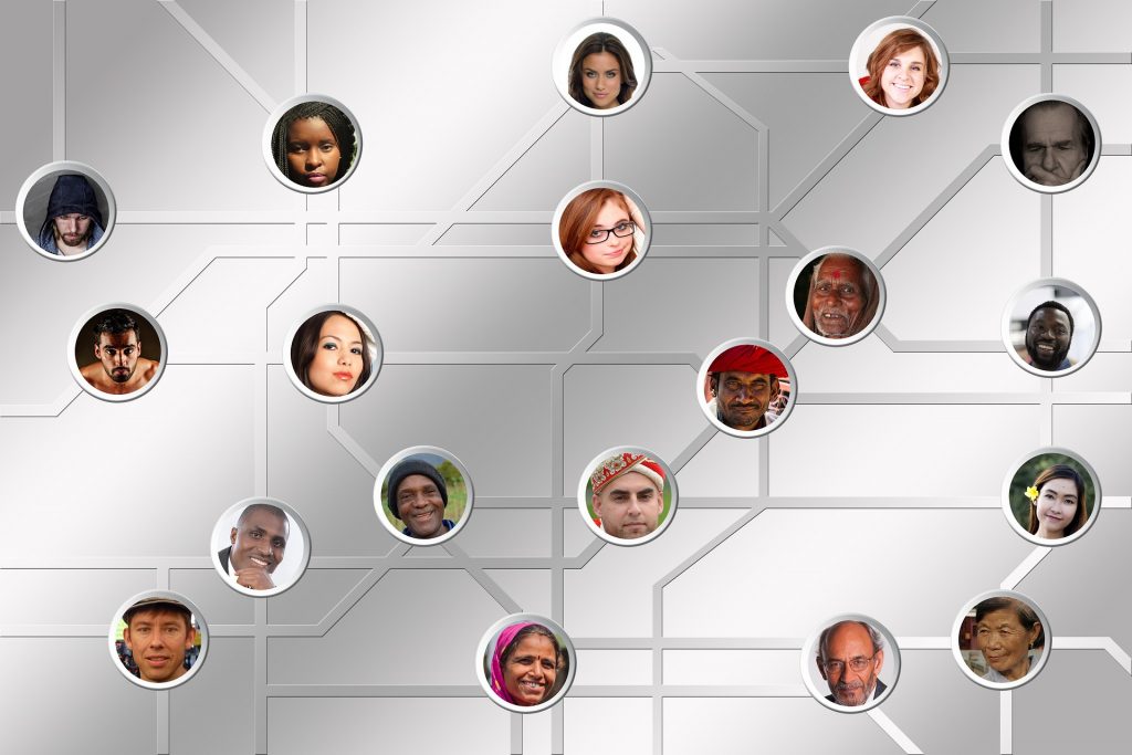
Digital humanities is the application of digital tools and technology to humanities disciplines such as arts, music, literature, história, philosophy, and more. The scope of the field is so immense, with so much ongoing pesquisa, that it’s difícil de se chegar a uma definição que a encapsula. Em linhas gerais, compreende a digitalização, análise e apresentação do conteúdo de humanidades. Exemplos são a anotação digital de textos antigos, a construção de bibliotecas digitais, o mapeamento digital de áreas de significado cultural ou histórico, a visualização de dados na política, etc. Aqui estão exemplos de humanidades digitais:
Digital humanities makes it possible for us to access large amounts of historical data online, study the evolution of language, compare maps of ancient places to present day locations, and more. It’s an effort to curate and present data that’s so far been disorganized, scattered and largely inaccessible.
Aqui estão alguns projetos de humanidades digitais de alto impacto que estão sendo utilizados para fins de pesquisa prática.
1. Pelagios Commons
Pelagios Commons is an online, community-driven platform that helps users annotate and link historical materials through their common reference to particular places. Texts, databases, images, maps, and more can be linked through the places they refer to, allowing users to find information related to a particular place. The platform introduces the traditional concept of “Linked Open Data” into online resources, helping users learn more about the Ancient World.
While Pelagios’ platform Recognito allows users to annotate data and geotag locations, the Peripleo map platform works like a search engine that allows researchers to discover this data and access relevant resources for their research.
2. ToposText
We’re all familiar with names such as Troy, Ithaca, Paphos and Argos. Now imagine being able to search for these names, map them onto present day locations and find related texts where these names were referenced. ToposTextdirigida pela Fundação Aikaterini Laskaridis e criado por Brady Kiesling, is a digital interface that allows users to discover places in ancient Greece and also links to texts and images that referred to them. It not only covers ancient cities, but also shrines, castles, museums and excavation sites – over 5000 places in ancient Greece, including places from Spain to the Caucasus. ToposText is available as a mobile application. Its sister website, Travelogues oferece milhares de ilustrações de viagens anteriores da Grécia.
3. Mapeamento da LA judaica
Mapeamento de LA judaica is a project that uses digital tools to enable users to experience Jewish LA through multimedia – sights and sounds of cafes and neighbourhoods, archives of writers and poets, interactive maps, curated photographs, and more. The project is the result of a partnership between the UCLA Library and Special Collections, the University of Southern California, and more than a dozen community archives. The ‘HyperCities’ model allows you to pick out a particular place in the city and experience what it was like at a particular time period – for example, Boyle Heights in the 1920s.
O mapeamento da LA judaica é um grande exemplo de como as humanidades digitais estão sendo usadas para preservar a história, estudar a cultura e a evolução, e até mesmo melhorar o envolvimento da comunidade.
4. Visualizando a política
O Bibliotecário Visual used an interesting data visualization technique to help users understand how distorted (or not) their view of the 2016 Presidential Candidate was (and is). The interactive grid on Quadro Public prompts users to select how honest and consistent they thought the candidate was. The grid then tells you how accurate your guess was, along with a table of data that supports the result. The aim was to visualize the rhetoric aspects of politics, something that doesn’t lend itself to visualization easily.
Mais uma vez, vemos como as ferramentas digitais podem ajudar a simplificar um tópico complexo e facilitar a extração de informações significativas, mesmo em tópicos que podem ser ambíguos e subjetivos.
5. Cidades inteligentes da NYU
Constantine E. Kontokosta leads an initiative at NYU’s Center for Urban Science and Progress (CUSP) that aims to improve the quality of urban life by using the power of data collection and analysis. Called ‘Comunidade quantificada‘, the initiative aims to use data analytics and the Internet of Things for improved neighbourhood planning and urban design, which will reflect positively on the quality of life for those who live in these cities. The initiative also involves ‘community ciência dos dados’ – involving the local community, based on whose feedback the problems can then be resolved. This approach helps residents define their problems, so that the quality of data is more accurate and reliable. Though the initiative is still in its early stages, it’s clear that technology and citizen engagement can come together to reform and reinforce urban planning decisions, and ultimately, benefit everyone involved.
Outros recursos úteis em projetos atuais de humanidades digitais:
http://www.open.ac.uk/arts/research/digital-humanities/projects
———————
Precisa contratar um cientista social ou um analista de dados para seu projeto? Contrate mais de 5000 cientistas freelance em Kolabtree aqui.
